Years of Excellence
Since 2006
Villages Surveyed
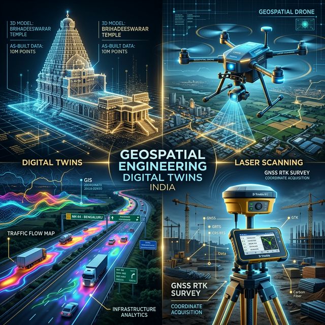
Precision topographic mapping
Area Documented (sq. ft.)
LiDAR and Photogrammetry
Capital Projects Delivered
Across India and World-wide
Precision engineering.
Actionable intelligence.
Founded in 2006 and headquartered in Bengaluru, Geopage Consultants is a multidisciplinary geospatial and civil engineering consultancy specializing in reality capture, digital twin development, and AI-powered spatial analytics.
We bridge the gap between physical assets and digital intelligence, serving government bodies and global infrastructure developers with engineering-valid data.
Enterprise Engineering Capabilities.


Our Professional Workflow.
Site Reconnaissance
Initial engagement and detailed site analysis to determine the optimal reality capture methodology tailored to your infrastructure requirements.
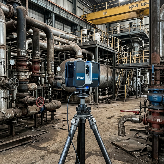
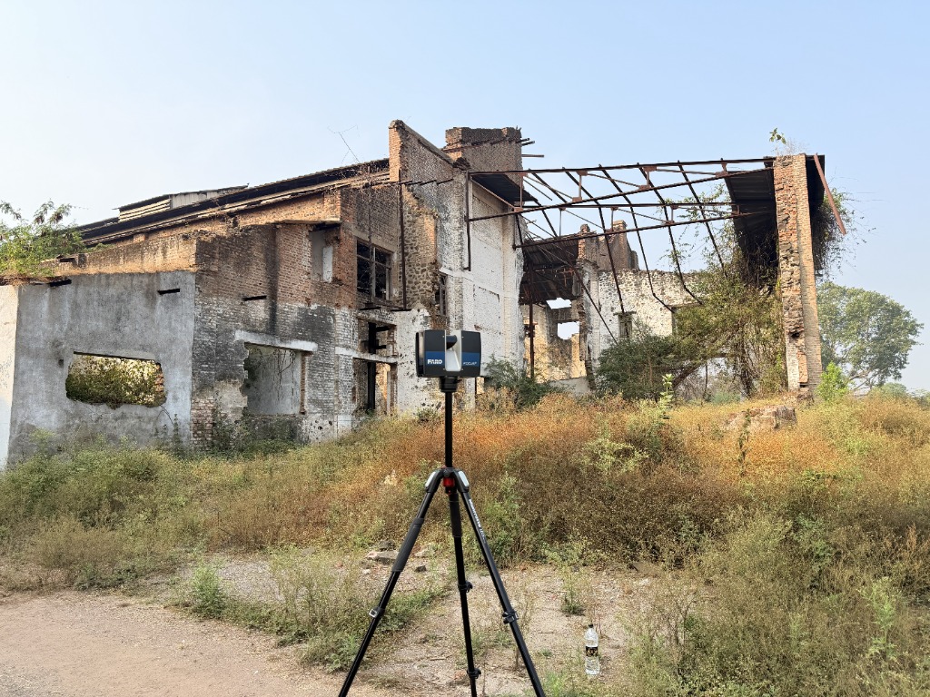
High-Fidelity Acquisition
Deployment of advanced sensors including Terrestrial Laser Scanners, LiDAR UAVs, and RTK-GNSS systems for millimeter-accurate data capture.
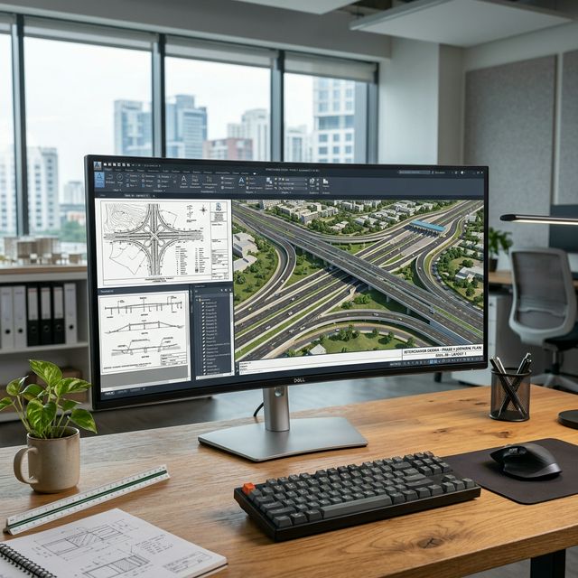
Digital Synthesis
Processing raw point cloud data into intelligent 2D/3D deliverables, including BIM models, topographic maps, and reality meshes.
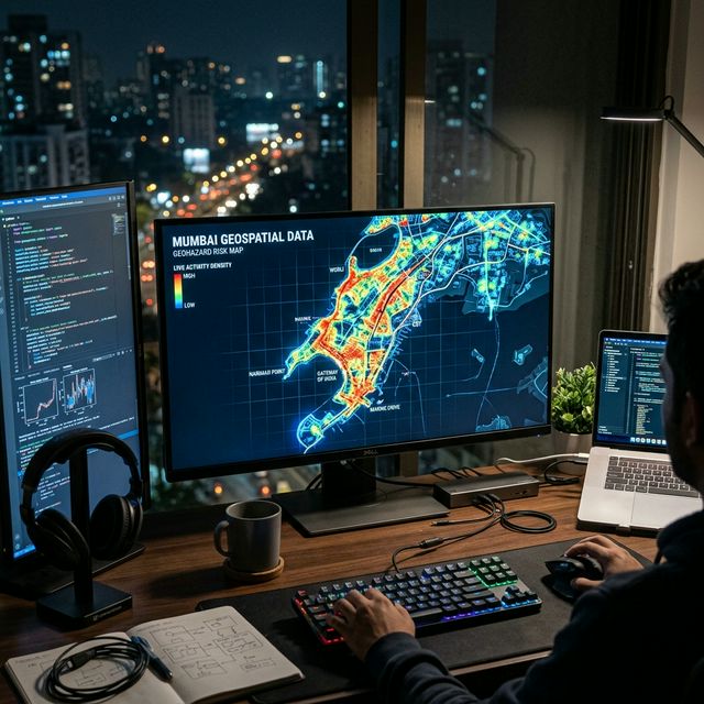
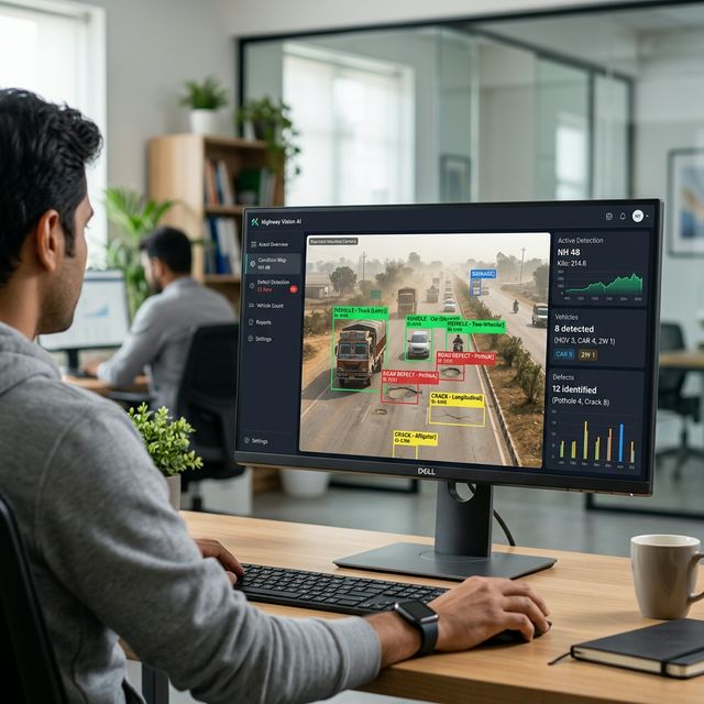
Engineering Intelligence
Delivery of actionable data integrated into asset management platforms, helping stakeholders optimize maintenance and operation.
Strategic Sector Partners